
Rhode Island Zoning Atlas
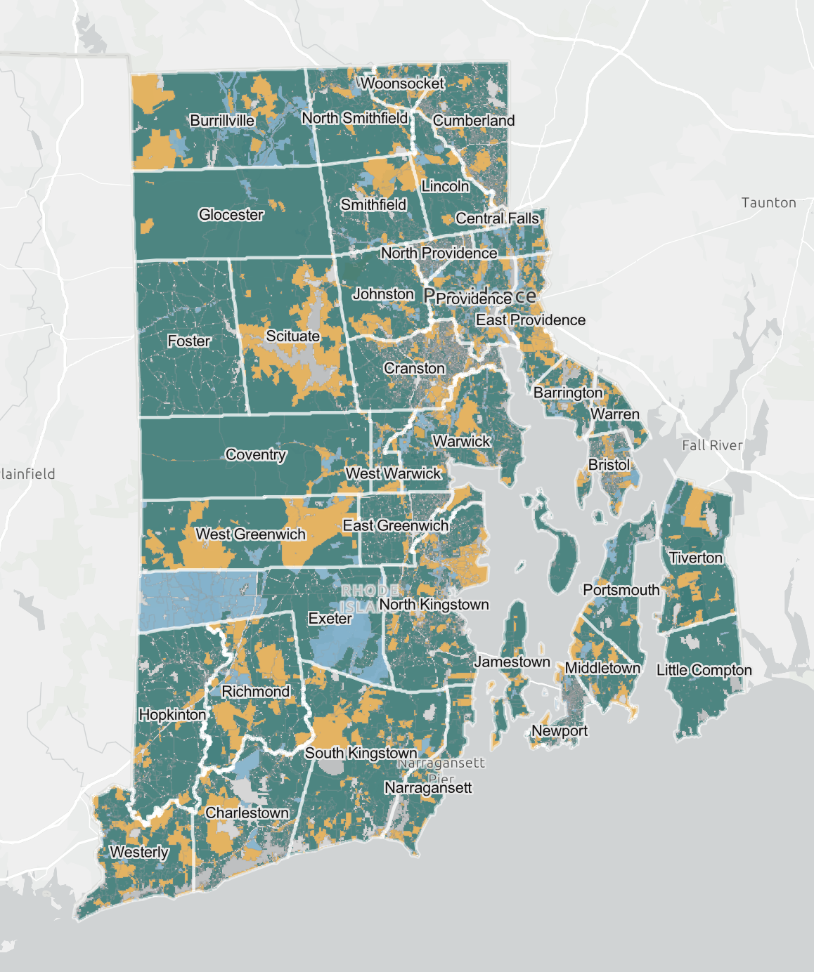
The RI Zoning Atlas is an interactive mapping tool that provides an unprecedented look at zoning conditions impacting housing and development across the state.
The Rhode Island Zoning Atlas provides a first-of-its-kind look at how zoning intersects with housing across all 39 of RI’s cities and towns. With work spanning almost two years, the HousingWorks RI team analyzed the zoning of all 39 of Rhode Island's cities and towns to create an interactive and digestible atlas. This work relies on the methodology and guidance of the National Zoning Atlas (NZA) collaborative. Learn more about the NZA methodology here.
Research Team
Director: Annette Bourne, Research and Policy Director, HousingWorks RI
Project Manager: James Hardy, Research Analyst, HousingWorks RI
Advisory Committee
Benny Bergantino, Rhode Island Division of Statewide Planning
Jessica Cigna, Office of RI Secretary of State
Brian DeChambeau, RIHousing
Deborah Goddard, RI Department of Housing
Richard Godfrey, Cummings Institute for Real Estate, Roger Williams University
Susan Mara, American Planning Association, RI Chapter
